Teaching elementary kids about cardinal directions and how to use a compass is crucial because it helps them develop essential spatial and navigational skills that will serve them throughout their lives.
Children can become more independent and confident in navigating their surroundings by learning to read a map and understand directions. Additionally, teaching children about cardinal directions and using a compass can help them develop a deeper appreciation for the natural world and the importance of preserving it.
Let's start!
Printable & Activity Objectives
💡
Age: 6 to 9 year olds, Activity Time: 1-2 hours, Items Needed: Writing pencils
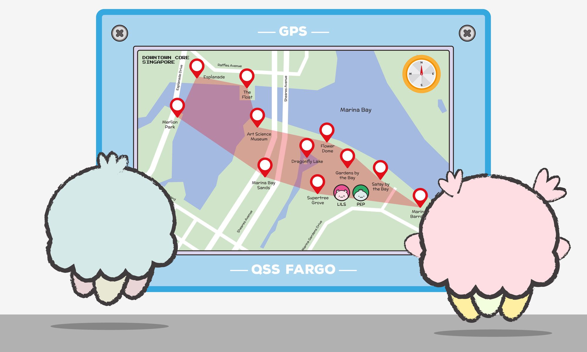
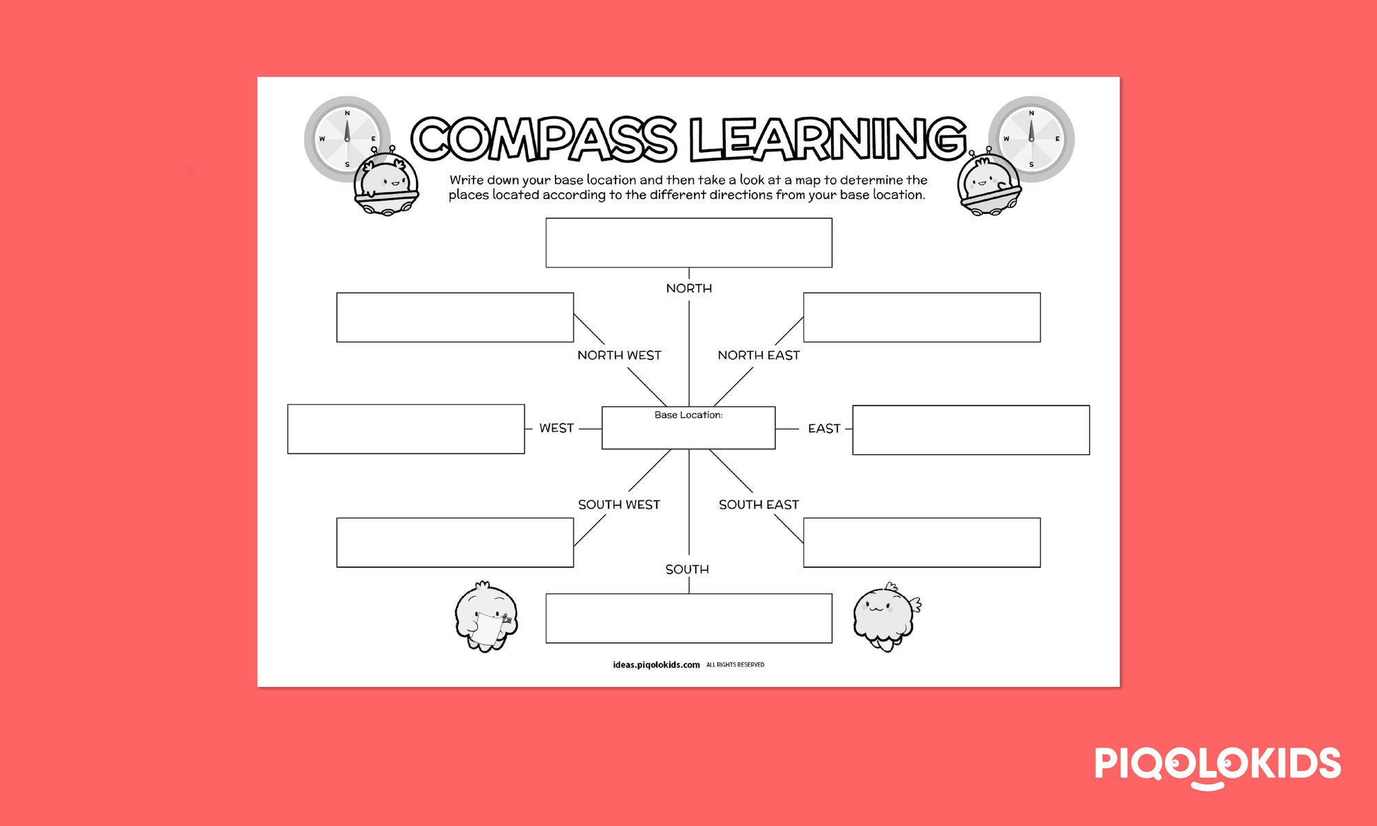
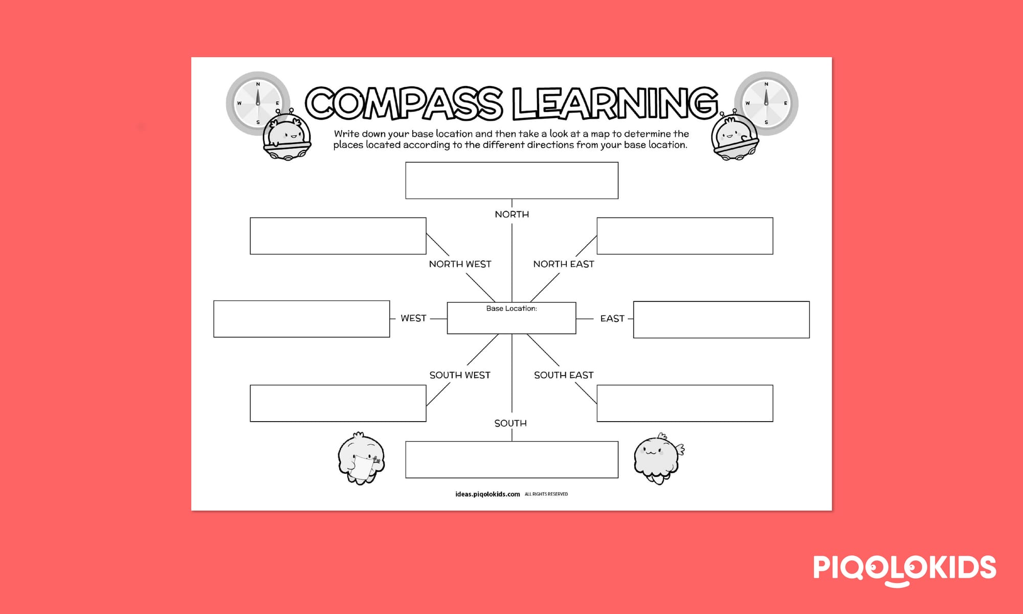
In this activity, your student can learn how to better read a compass and determine where the different places are located in relation direction they're in.
It will help your child or student:
Improve their spatial awareness and navigation skills
Better understand maps and how to read them.
Let's start!
Classroom Resources
Simple steps to take:
Research and find out more about cardinal directions and how to use a compass. Here's an informative video about how the invention of the compass has helped people navigate for centuries.
Get started on the printable worksheets.
Share this Teaching Resource
What's in the Printable Worksheet Pack
This printable pack consists of a printable challenge of determining where different places are located in relation direction they're in.
Get the Complete Bundle Best value for classrooms & families
BUY BUNDLE PRINTABLE PACK (PDF ONLY)
Young Nature Explorers Activity Printable Bundle (PDF ONLY)
Purchase this activity printable bundle pack
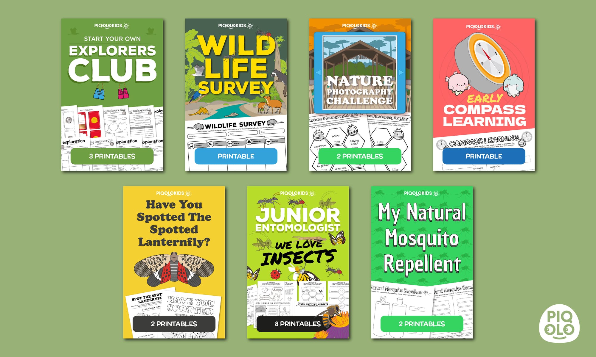
Pack includes:
Start Your Own Explorers Club (9 pages)
Wildlife Survey Hiking Activity (2 pages)
Nature Photography Challenge (2 pages)
Early Compass Learning for Kids (1 page)
Spot the Spotted Lanternfly (2 pages)
Create Your Own Natural Mosquito Repellent (2 pages)