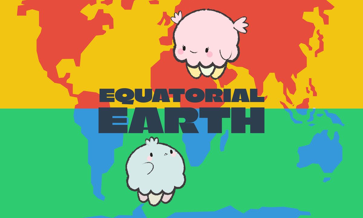
The equator is like a big circle that splits the Earth into two halves, the northern hemisphere and the southern hemisphere. It is a way of measuring how far north or south something is on Earth.
Areas near the equator are typically warmer and more humid, while areas closer to the poles are colder and drier. It's home to some of the most diverse ecosystems on the planet, including rainforests and coral reefs. People who live near the equator have developed unique traditions, languages, and ways of life that differ from those in other parts of the world. What an amazing place!
Let's start learning about the equator!
Printable & Activity Objectives
💡
Age: 8 to 9 year olds, Activity Time: 2-3 hours, Items Needed: Writing and colouring pencils
This activity will allow students to learn about the equator and explore the different countries, geographical landscapes and biodiversity available in the countries close to it.
It will help your child or student with:
Geography Knowledge: They will learn about the countries close to the equator, their unique natural landscapes, their different cultures, and their rich biodiversity.
Climate Understanding: They will learn about the equatorial climate, which is warm and humid, versus climate in other regions in the world. They can also learn about the different types of vegetation that grow in the equatorial region.
Let's start learning!
Classroom Resources
Simple steps to start:
Research and learn more about the equator and the different hemispheres in the world. Here's a great introduction video about how the Earth is divided and classified by humans:
Here's a video about how latitudes and longitudes where the equator sits right in the centre of the Earth's latitude.
Here's a video about why there is a richer biodiversity in the tropics (close to the equator) than anywhere else in the world:
Get started on the printable worksheet!
Share this Teaching Resource
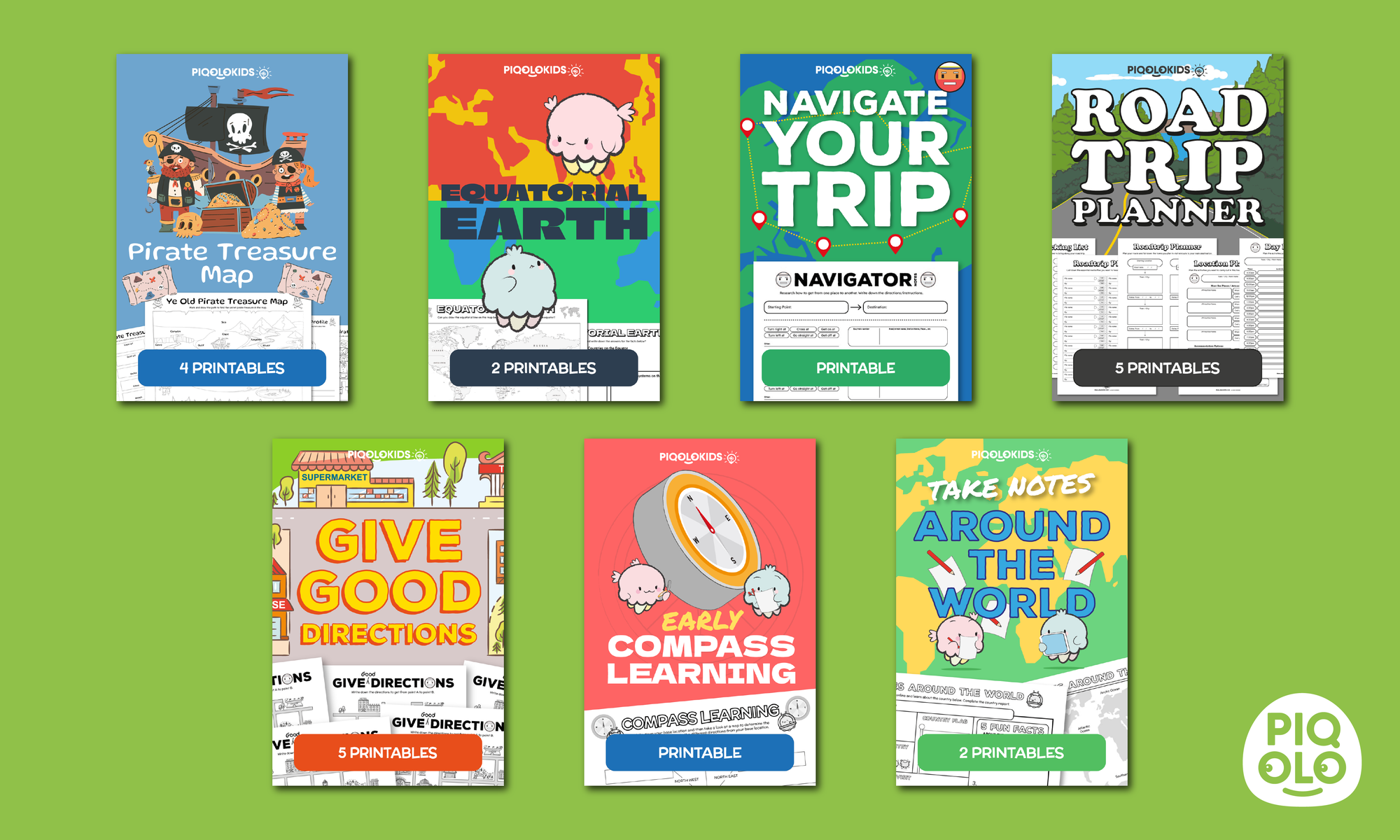
What's in the Printable Worksheet Pack
This printable activity pack consists of 2 creative printable worksheets. Here's what it consists of:
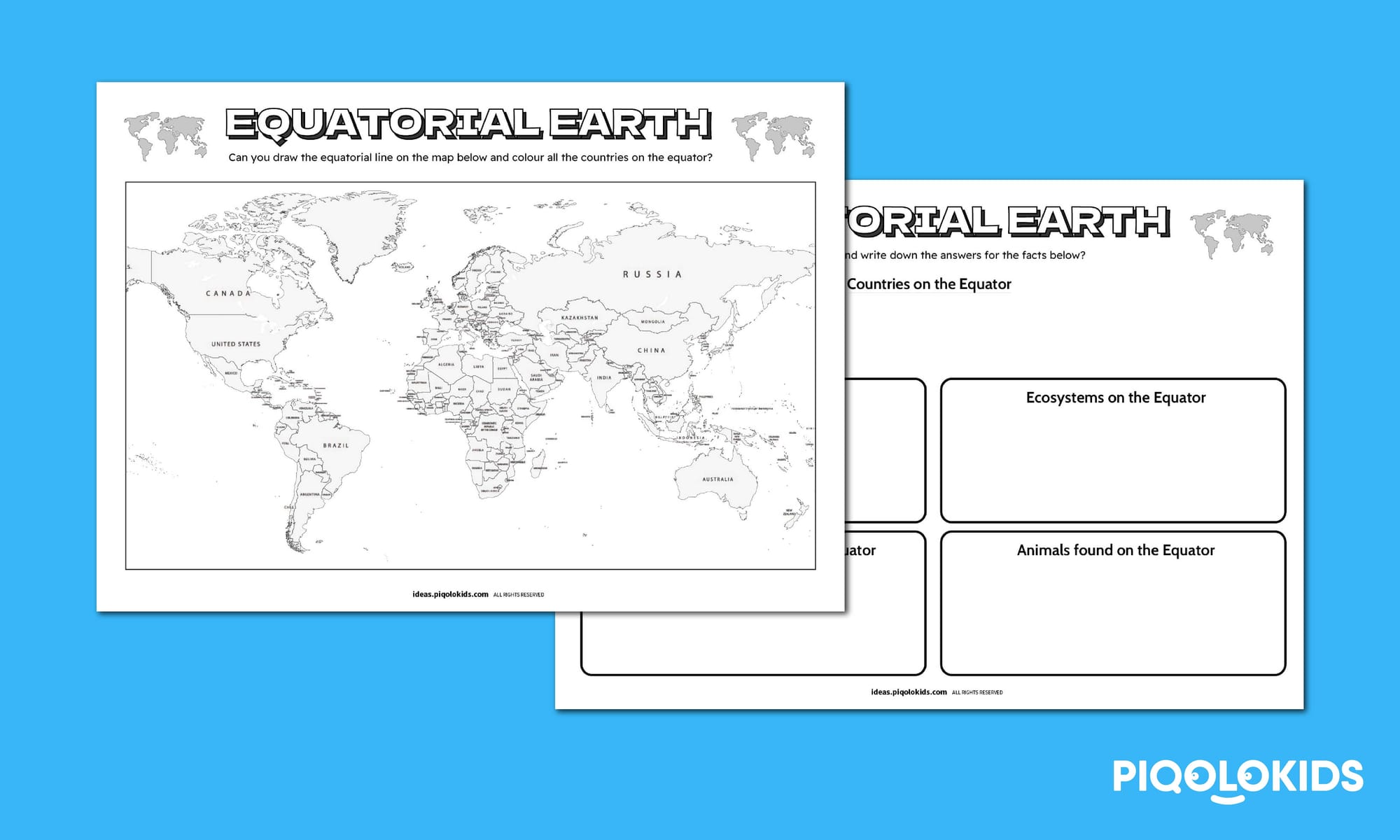
1 Equator Marking Map Sheet
1 Equator Fact Sheet
Get the Complete Bundle Best value for classrooms & families
BUY BUNDLE PRINTABLE PACK (PDF ONLY)
Navigate the World: Creative Travel Printable Bundle (PDF ONLY)
Purchase this activity printable bundle pack
Pack includes:
Landforms and Ye Olde Pirate Treasure Map (4 pages)
Where is the Earth's Equator? (2 pages)
Learn Basic Navigation (1 page)
Plan Your Next Road Trip: Planner Activity for Kids (5 pages)
How to Give Good Directions: Printable for Elementary (5 pages)